
Needle Peak Attempt at Coquihalla Summit Area
Labour day long weekend our hiking crew was off for a spontanous road trip to Kamloops. Amoung all the beautiful moments, heading up into the Coquihalla Summit Area is definitely one of the highlights.
Coquihalla Summit Recreation Area

Coquihalla Summit is the highest point on the highway between the cities of Hope and Merritt and is the divide between the Coquihalla River and the Coldwater River. Needle Peak(2090m) is the highest the peak in the area as well as the range it belongs to. The region is part of the North Hope Mountains which is part of Far Northern Cascade Range.

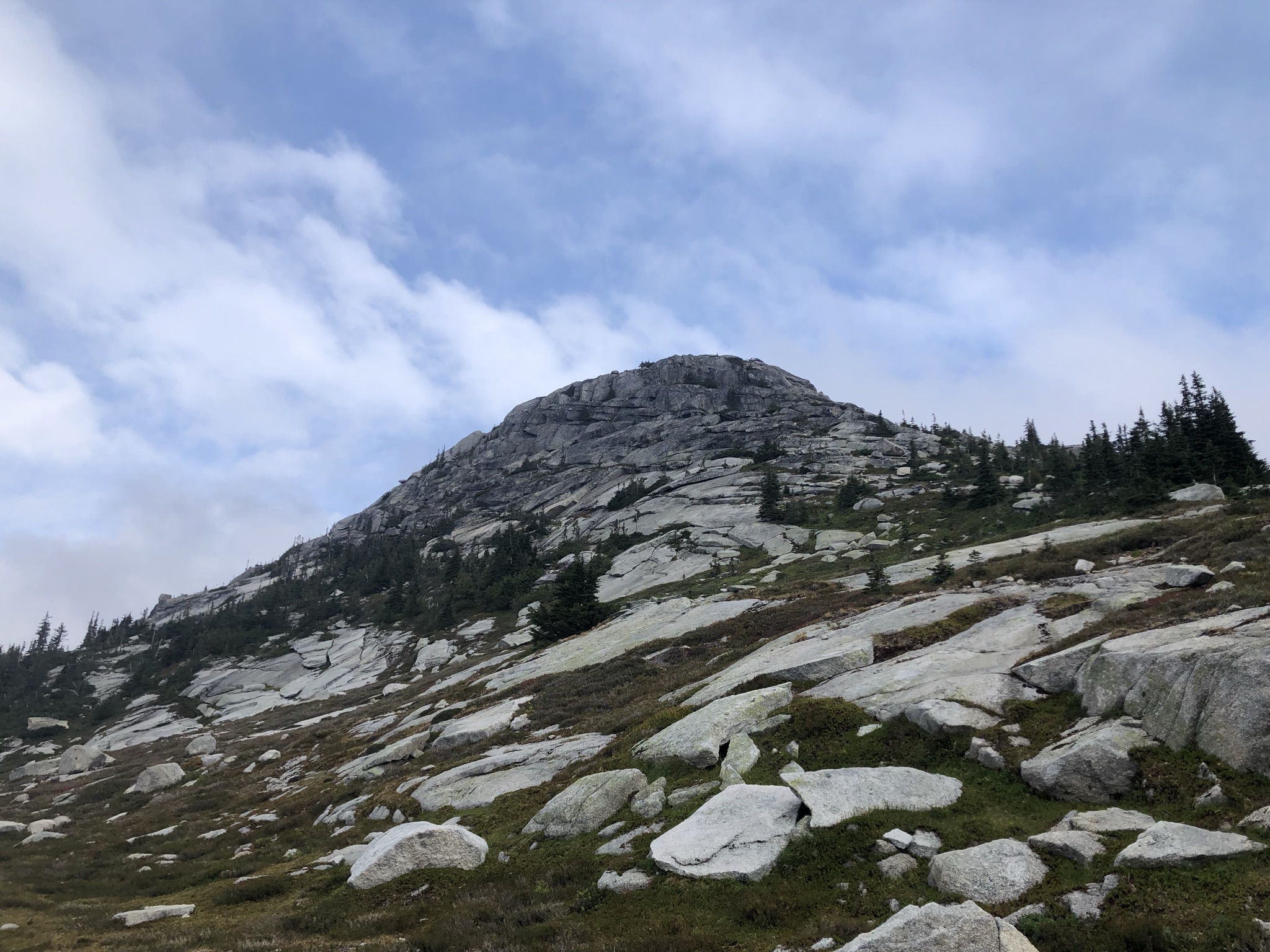
The Ridge
Trail opened up approaching the ridget with the iconic Yak Peak (2039m) in the background. 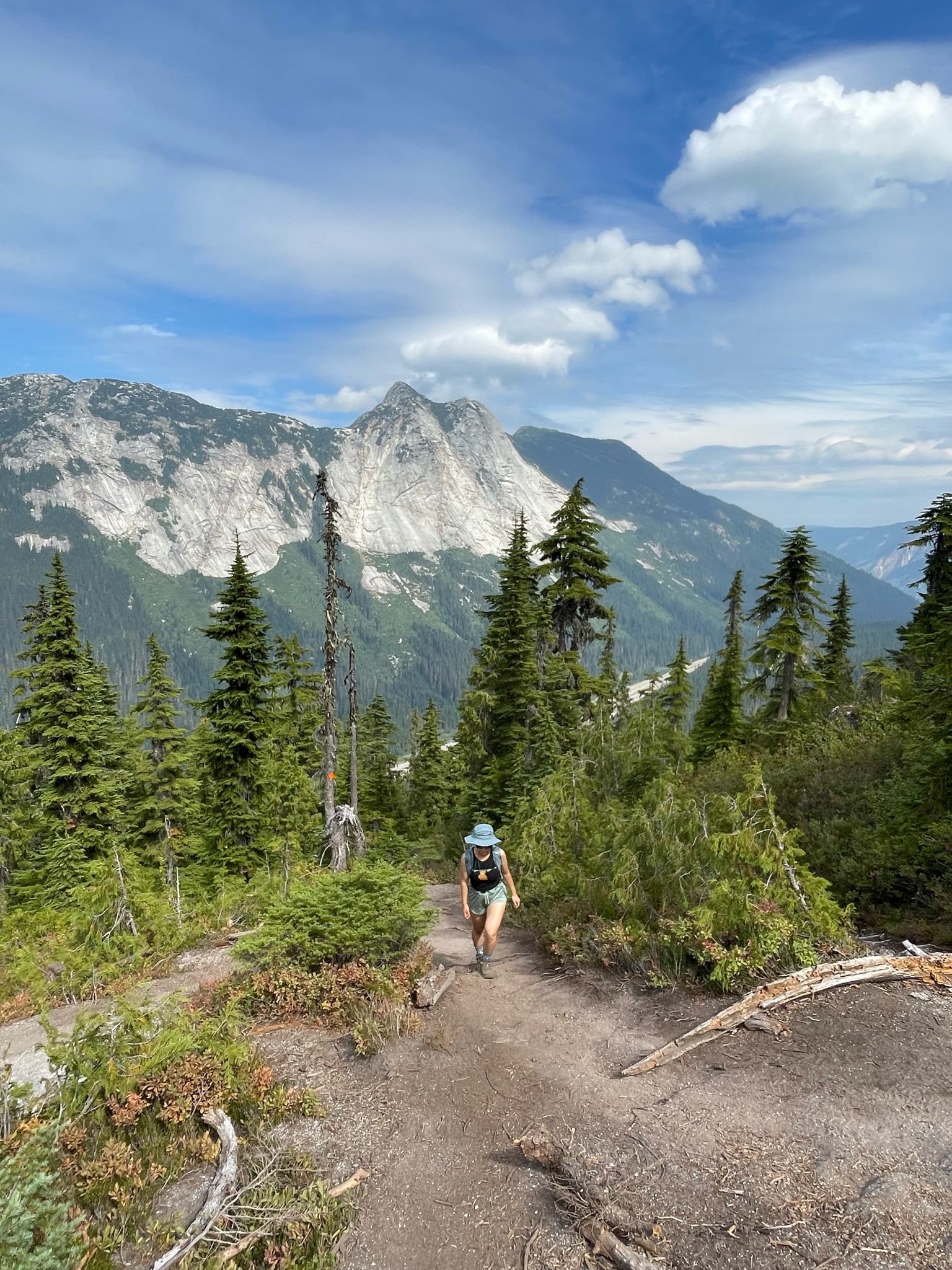
The view is already very rewarding after a quick intense uphill. 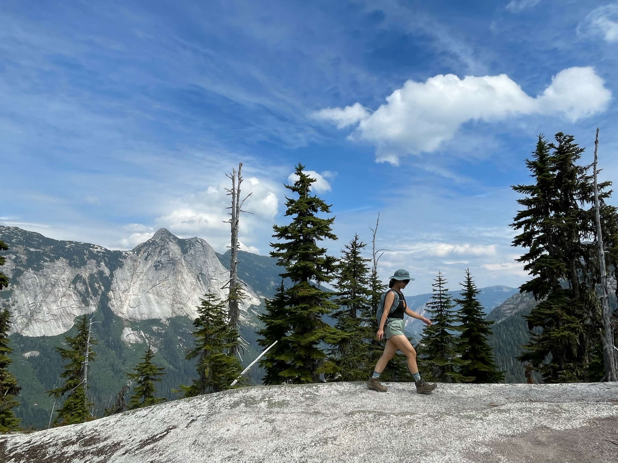
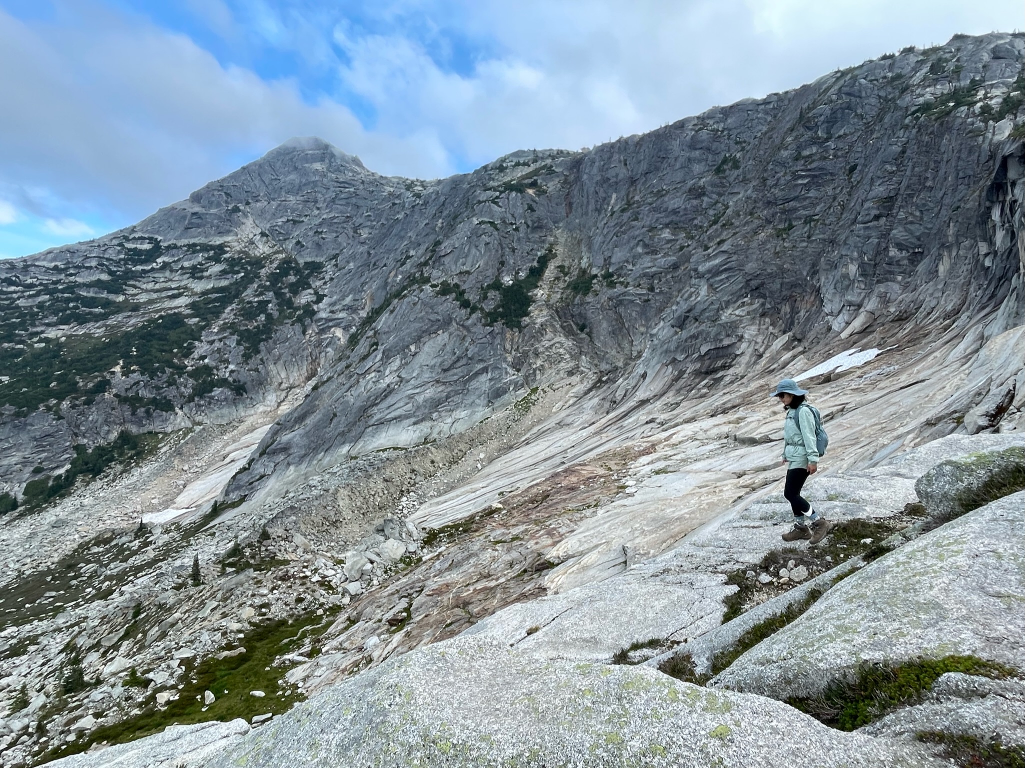
The Peaks
The trail is basically following the west side ridge of a mini watershed. Once arrived at the junction of the trail we will have 2 options with turning left towards The Flatiron (1898m) and turning right to keep scramble up to the Needle.
At the junction looking back and to the east, we can see Yak hidden in the cloud - the weather is getting bad as we continuing uphill - Markhor Peak is in the middle right, Needle Peak is to the far right side (east).

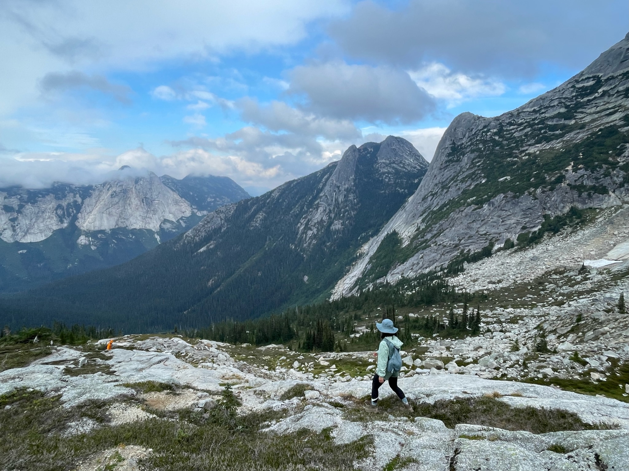
The Flatiron is a flat top mountain with great camping opportunities.
Enjoying the view at the junction area. The view is fully opened here and terrain is relatively flat. We can see all the rest of peaks towards northwest of the Coquihalla area.
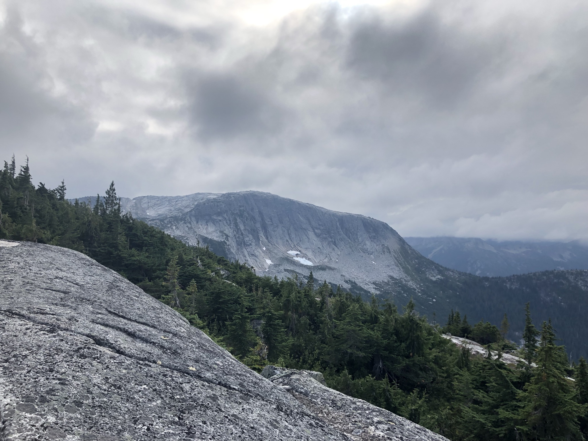
Rocky scramble leading to the Needle Peak. We bailed near the top of the bump as the weather got very bad and started to rain.
Way down
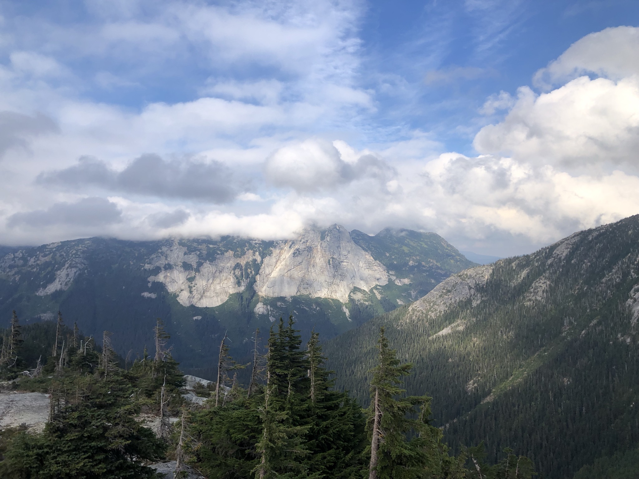
The impressive layed rock formation right below Needle Peak.
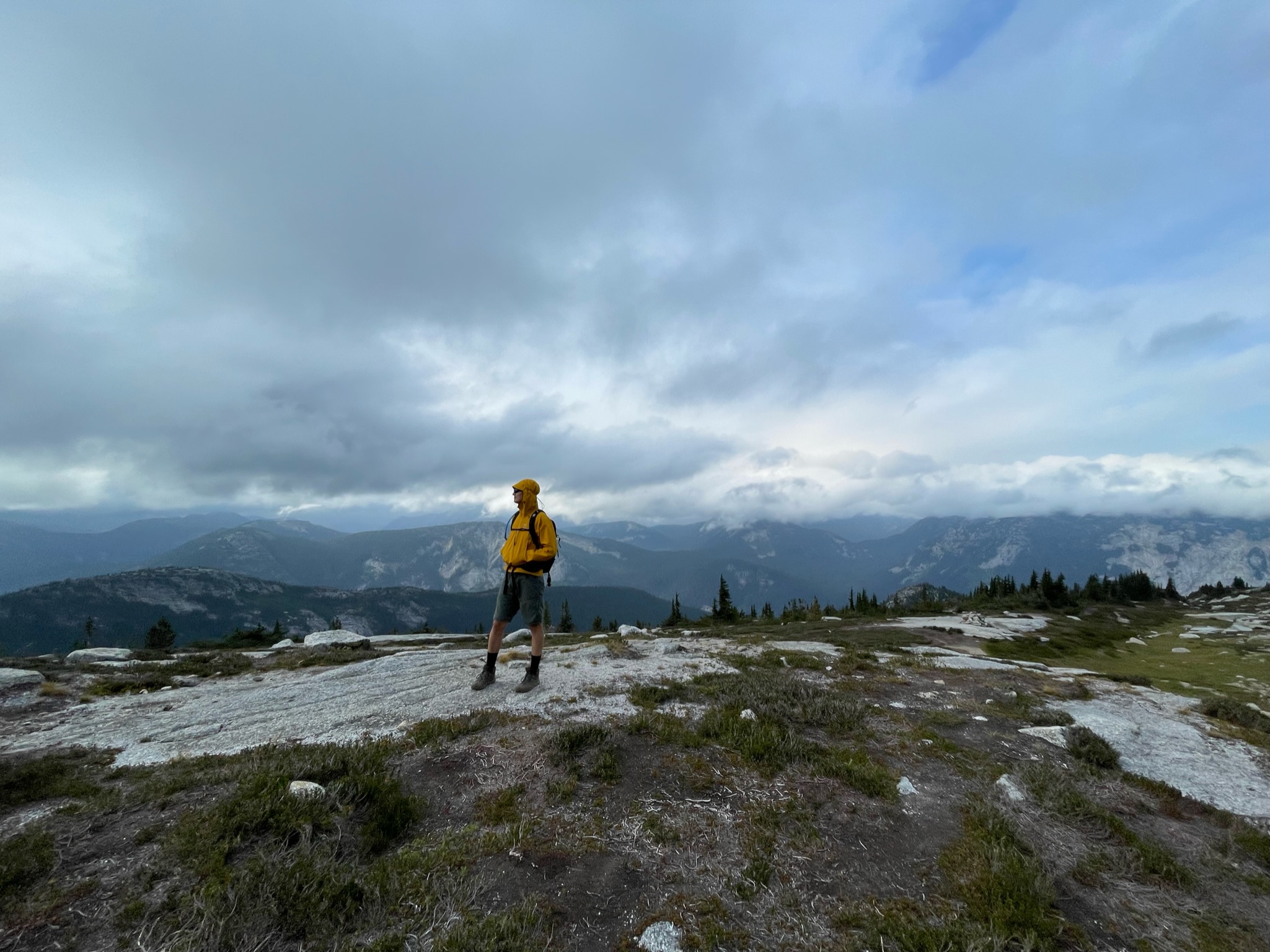
Cloud is disappearing as we hiking down.
Yak Peak showing her face once again with sunset lighting.
More to come…